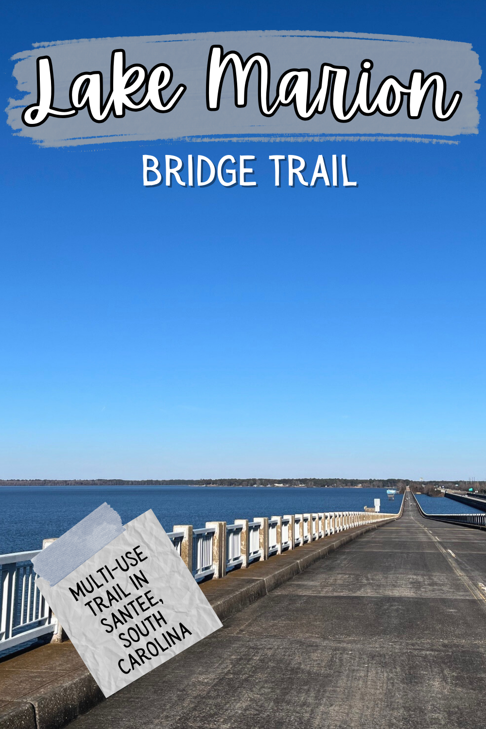
A Guide to the Lake Marion Bridge Trail in Santee, South Carolina
Experience a piece of South Carolina history while you hike on the Lake Marion Bridge Trail!
This defunct bridge was replaced by the current I-95 bridge as the only way to cross South Carolina’s largest lake.
But in the 1960s and 70s, it carried tens of thousands of cars across it.
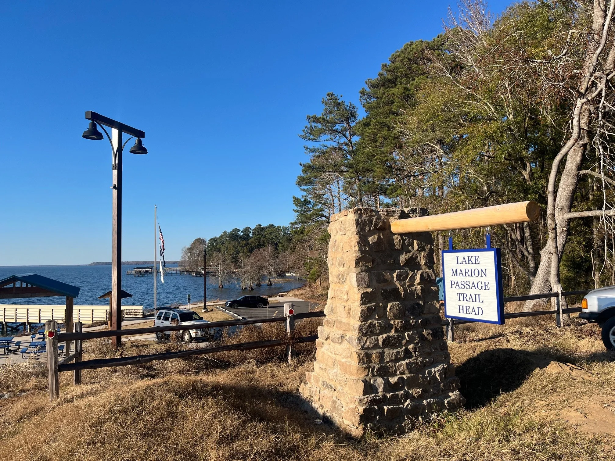
In 2023, the old Highway 301 bridge reopened as a pedestrian only hiking and biking route, as well as part of the Lake Marion Passage of the Palmetto Trail.
Today, this 4-mile out-and-back trail is perfect for stretching your legs on a long road trip, or as a great way to spend a few hours on a beautiful day.
In the hiking guide below, you’ll find everything that you need to know about the Lake Marion Bridge Trail from what the parking situation is like to what to expect at every step along the way.
The gorgeous views of Lake Marion from the highest point on the bridge
This post contains affilliates. If you purchase through the links below, I will receive a commission at no charge to you.
Hike Overview
Trailhead Location: at exits 98 and 102 on I-95 southbound in South Carolina
Trail length: 4 miles total (out-and-back)
Trail difficulty: easy
Elevation gain: approximately 100 feet
Getting to the Lake Marion Bridge and Parking
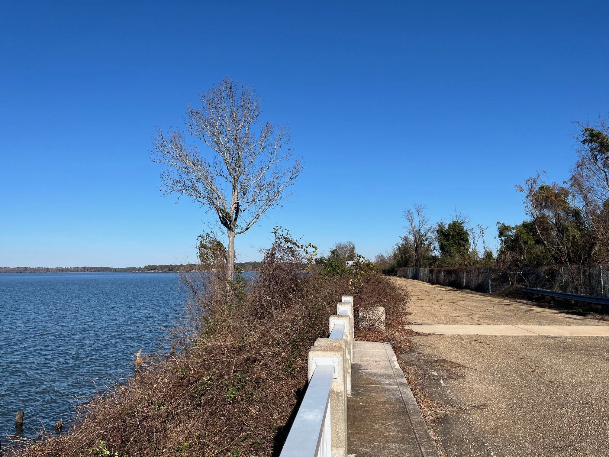
An unaccessible portion of the old bridge
This bridge walk is an excellent example of how repurposing obsolete architectural items can breathe new life into an area.
When I was growing up, we’d travel along I-95 often as we went between Charleston and my grandparents’ house in Florence.
The old 301 bridge looked so sad as it was overgrown with weeds in sections and had torn up and patched areas that you could still see from the newer I-95 bridge.
The older bridge was replaced in the late 1960s when the existing I-95 bridges were built (and, that, is about to be refurbished as the history of the lake crossing continues to evolve).
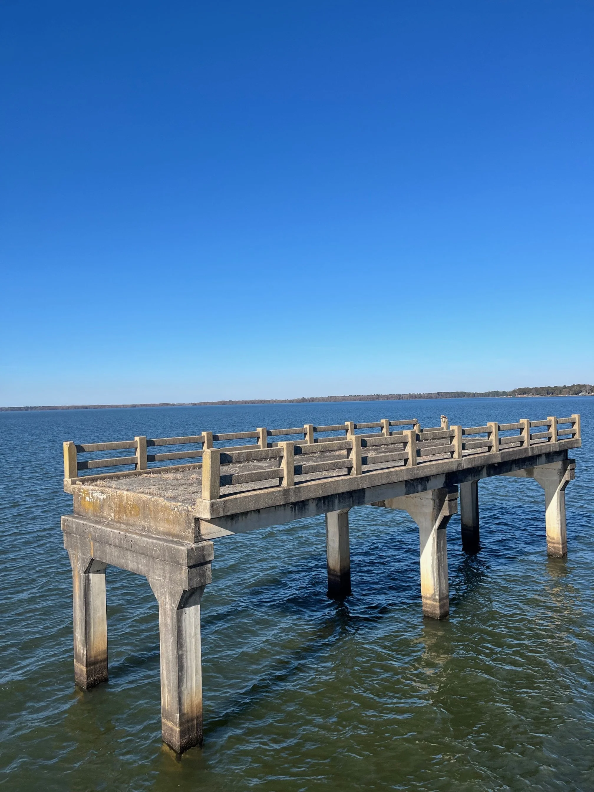
There’s actually a 3rd span of old bridge here, too, though it’s not accessible by car or foot.
The 3rd bridge only exists in small platform sections at this point, as these are all that remain from what was the southbound counterpart to what is today the Lake Marion Bridge Trail.
Find a kid-friendly hiking trail near you!
Explore the interactive map of family friendly trails from across the United States, all tested out by the Camping Kiddos crew.
Access from I-95
The northern end of the trail near the parking area
To get to the parking lot for this hike, you’ll need to head to one of 2 exits on I-95.
Exit 98 takes you to the small town of Santee and the southern end of the bridge, while exit 102 takes you to the main visitors area of the bridge on the north.
PIN ME!
If you take exit 98, get onto Highway 15 heading in the direction of the McDonald’s (so, to your right if you’re southbound on I-95 and to your left if you’re northbound).
Turn right at Bass Drive between Rivers Country Store and the Enmarket convenience store. Follow Bass Drive until it ends in approximately 1.4 miles.
There’s a small parking area by the “Road Closed” signs.
If you take exit 102, you’ll have an easy easier on-and-off experience. Headed northbound, take exit 102, following the road until it dead ends at a gas station. Turn to your left and follow that road until it also dead ends.
You’ll see the parking area on the grass before the “Road Closed” sign. There are also paved parking sites down next to the boat ramp.
If you’re coming southbound on I-95 and you take exit 102, turn right onto 301 at the bottom of the exit ramp, then make a left at the gas station and dead end. Parking is on your right in 0.7 miles down St. Paul Road.
In general, Santee, and this hiking trail, is at roughly the halfway point when you’re driving across the state of South Carolina on I-95.
Because of that, I recommend it as a place to get out and get some fresh air, have a picnic, and use the restroom before you get back in the car.
This trail is also bike and stroller friendly, so there are several ways for families to get out and enjoy it.

Parking at the Bridge
The parking areas are both well defined, and you shouldn’t have any trouble finding a spot.
While this area is a popular location for visitors, it’s never so busy as to have people finding for parking.
Having the two areas on each end of the bridge also helps distribute any crowds if they were to pop up.
While the parking at the south end of the bridge is more convenient if you also want to grab food on your road trip stop, there’s much more infrastructure on the northern end.
The northern end has a covered picnic area, clean vault toilet, and covered fishing pier in addition to parking and bridge access.
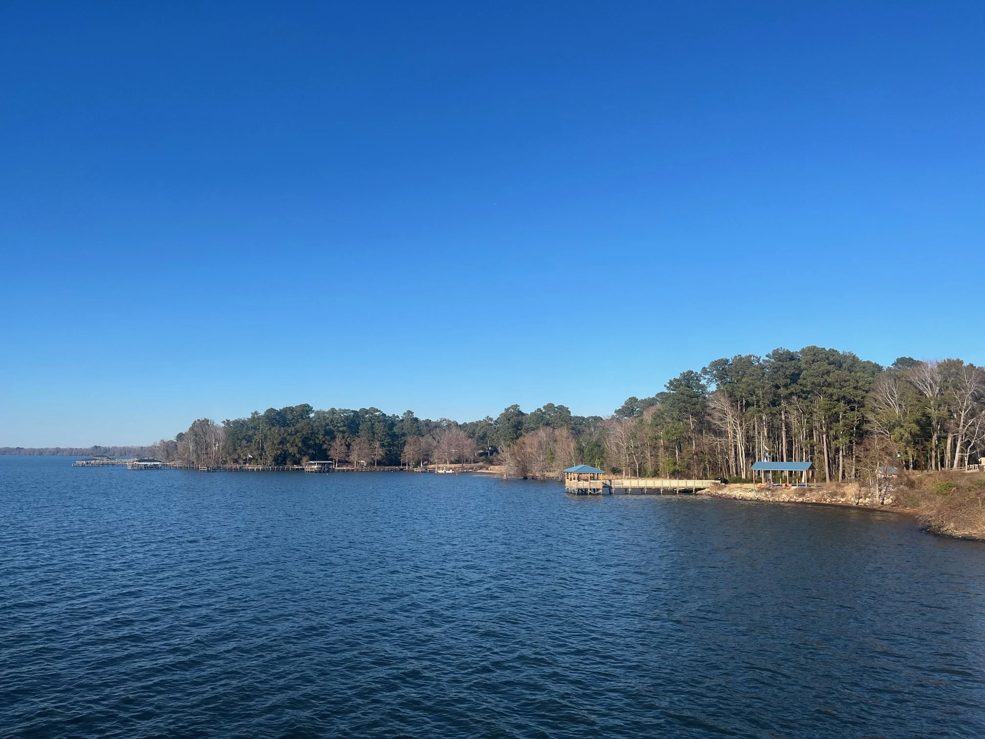
The picnic area and fishing pier on the northern end of the trail
The northern end of the bridge is also much quieter as you get off of the interstate since the 102 exit doesn’t offer much in the way of food options.
Parking and access to the trail on both the southern and northern ends is free.

FREE South Carolina travel planning resources!
From camping reviews to the best hikes in the state, you’ll find all of my outdoor recommendations for families and planning materials here.
Hiking the Lake Marion Bridge, Step-by-Step
TIP: Before you set out on any hike, it’s a good idea to check for any recent updates, trail conditions, and level of difficulty at AllTrails! Purchase your annual subscription here.
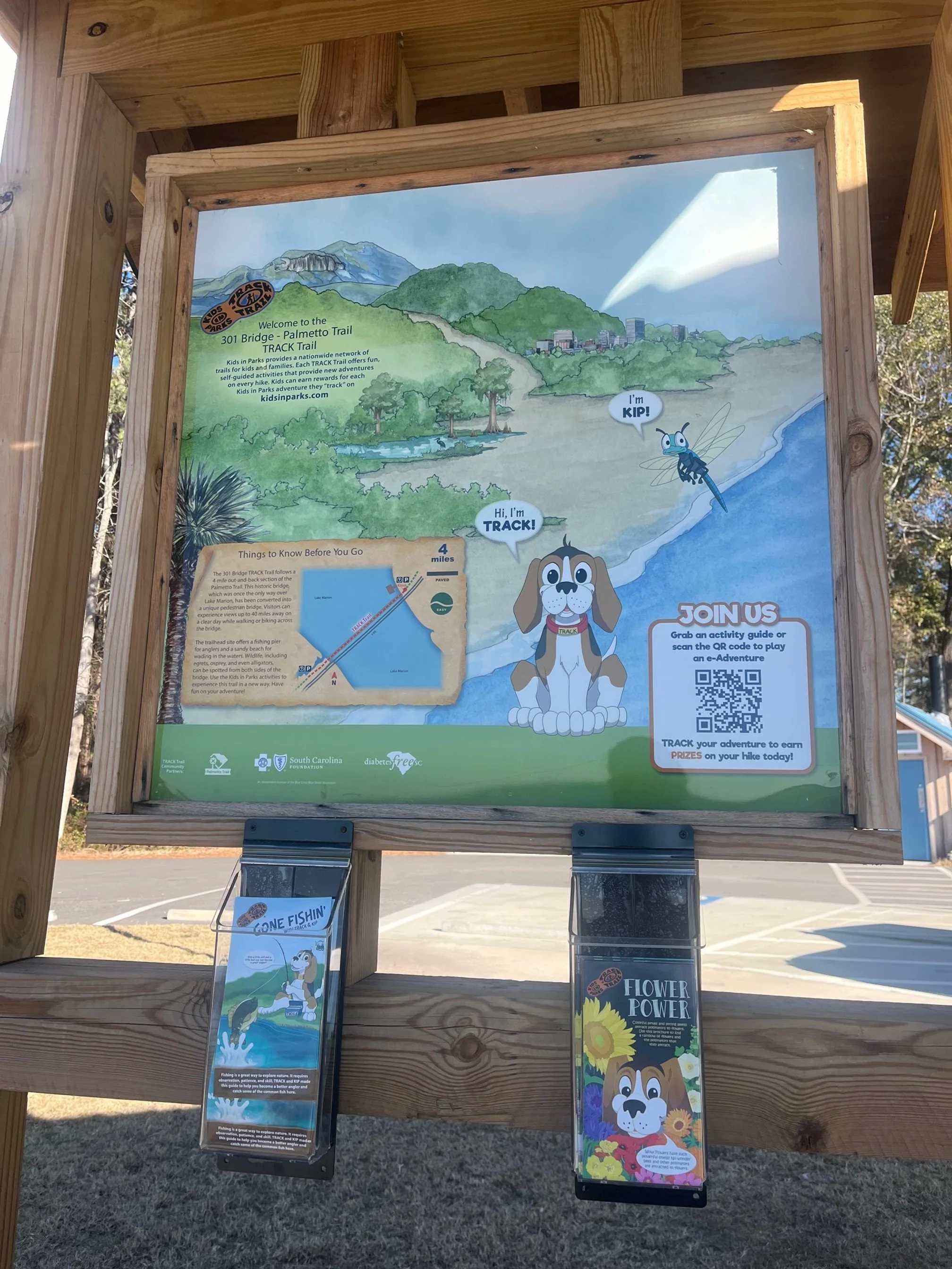
Track Trail kiosk at the northern end of the trail
Another benefit to starting your hike on the northern end is that you’ll be able to pick up a Track Trails brochure for your kids before you start your adventure.
You’ll find these colorful brochures on the back of the informational kiosk next to the covered picnic area.
You can choose from 2 different brochure themes:
Flowers, which also includes a strong color component, and
Fishing, which highlights the aquatic ecosystem of this area.
Take one or both, depending on how interested your kids are.
You will need to bring a pen or pencil for them to write with as these are not provided at the kiosk.
Track Trails
If you’ve never done one of the Tracks Trails with your kids before, you’re in for a treat.
These trails are ones designated by Kids in Parks as particularly family-friendly and include an free educational pamphlet or booklet to help your child learn more about the geology, history, or wildlife of the trail.
They’re similar to the NPS’ Junior Ranger program, just much more focused and shorter.
We love doing the Tracks Trails for a few reasons:
The brochures make the hike more engaging for my kids, and
We can log our miles on the Tracks Trails for free prizes by mail.
>> Find even more Tracks Trails across the U.S. with their interactive map. <<
We done several of the Track Trails, including in Constitution Garden in Washington, D.C., the Limberlost Trail in Shenandoah National Park, the Fox Hollow Trail also in Shenandoah, and in Sesquicentennial State Park in Columbia, South Carolina.
On the Trail
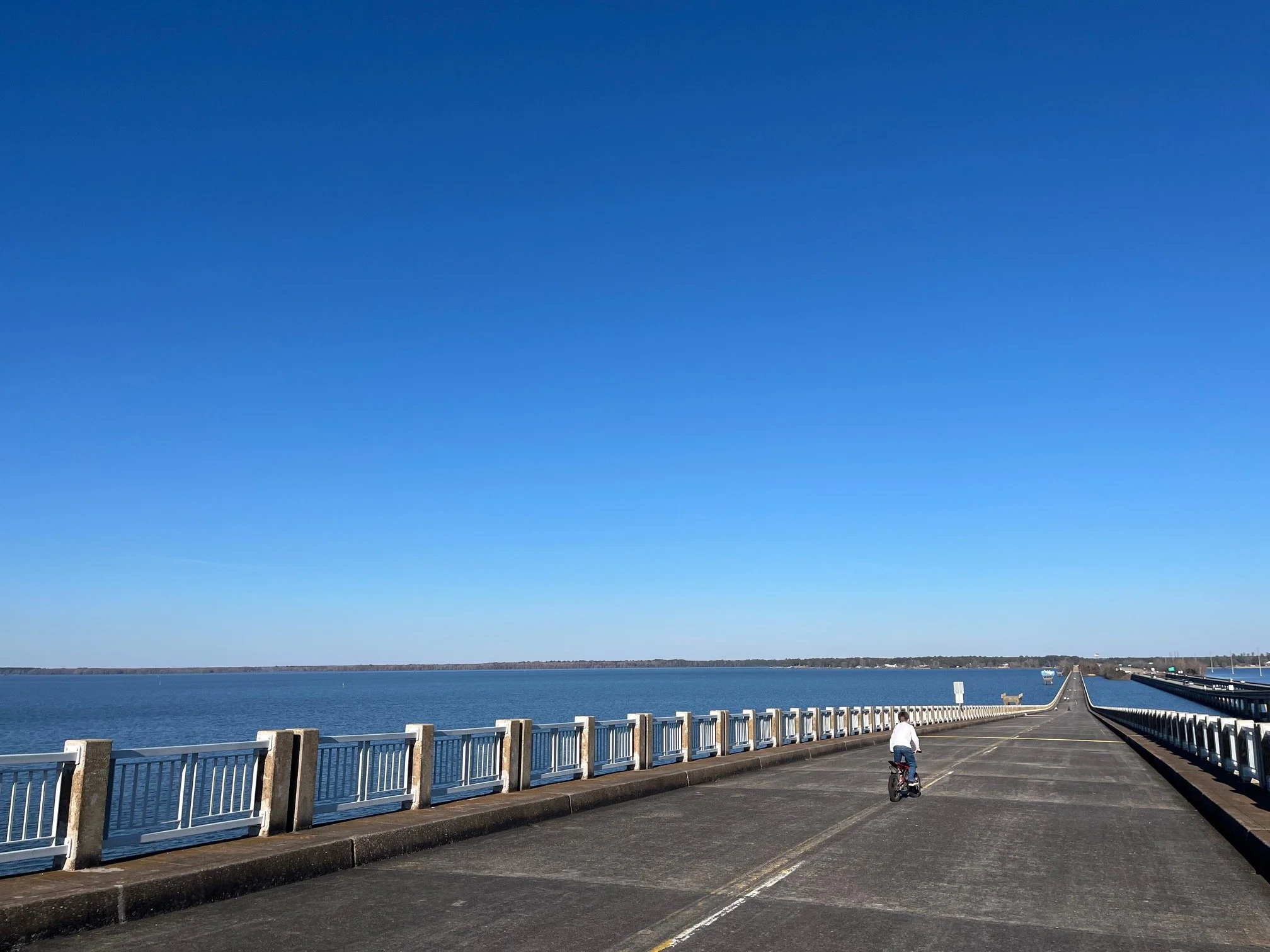
Once you have your pamphlet in hand, start out on the trail, which you can’t miss. (It’s an old 2-lane bridge, after all!)
If you start at the southern end, you’ll go up and over the tallest part of the bridge first. This is here to allow for fishing boats to pass easily from one end of the lake to the other.
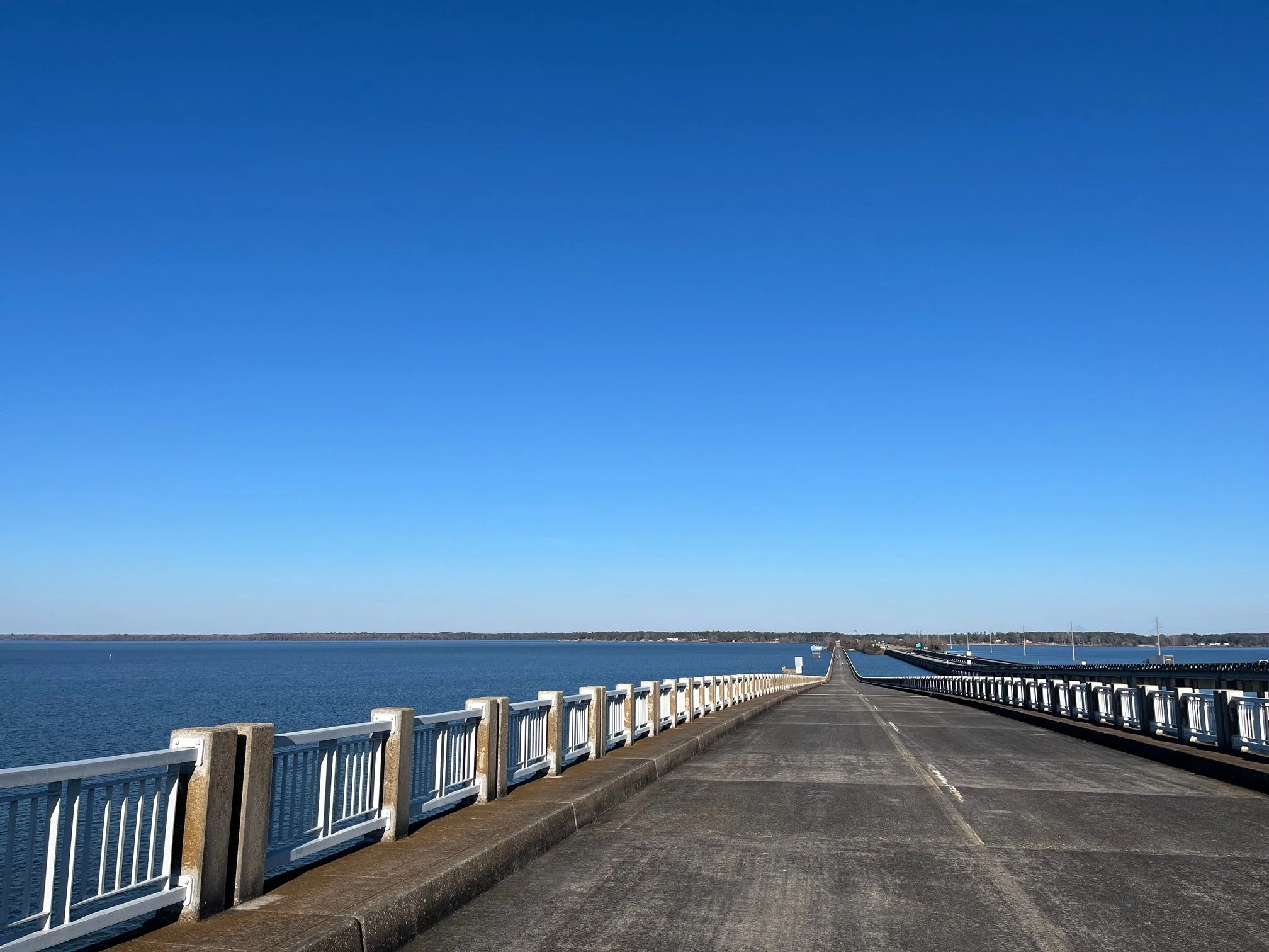
The pedestrian bridge on Lake Marion with the existing I-95 interstate on the right
The slope is fairly gentle, and it feels more like a big hill when walking the bridge.
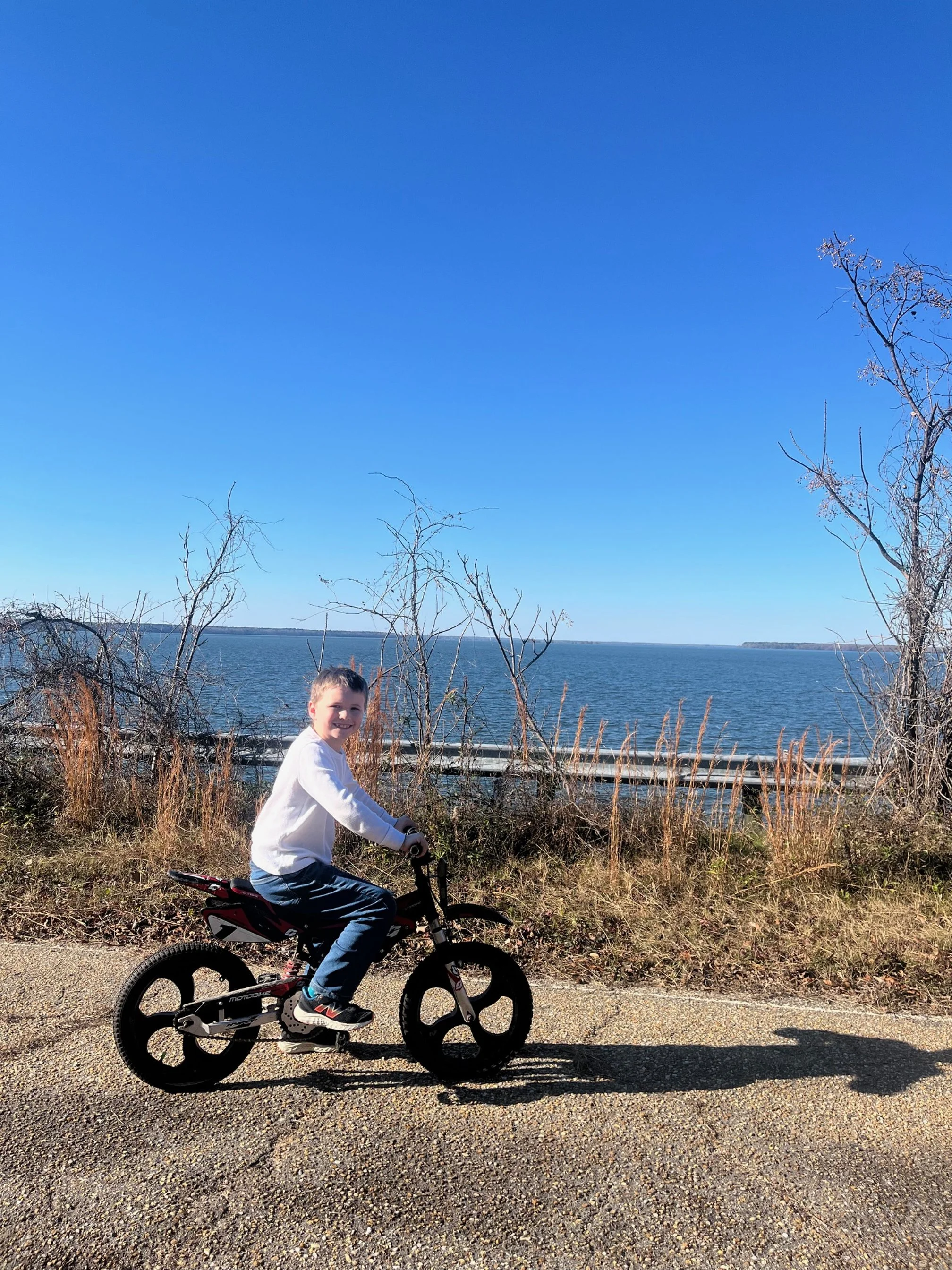
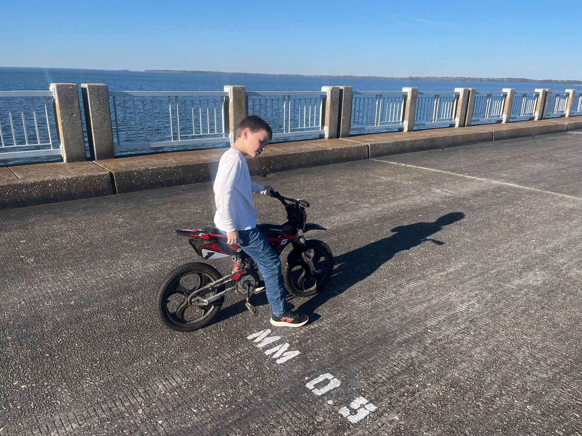
The younger Camping Kiddo on his bike on the trail
My son, who was on his bike, had to get off and push it a few times because he couldn’t get enough momentum going to get to the top.
Other than this one section, the rest of the bridge is extremely flat, so you’ll be able to focus on the incredible lake views on both sides rather than the elevation or uneven areas.
From the southern side, you’ll also be facing the mile markers as you cross the bridge. They’re provided in half-miles, so it’s easy to see where you are at any given point.
The best views of the lake from the trail are from the southern end to the middle of the bridge as there’s little to no vegetation on the side of the trail.
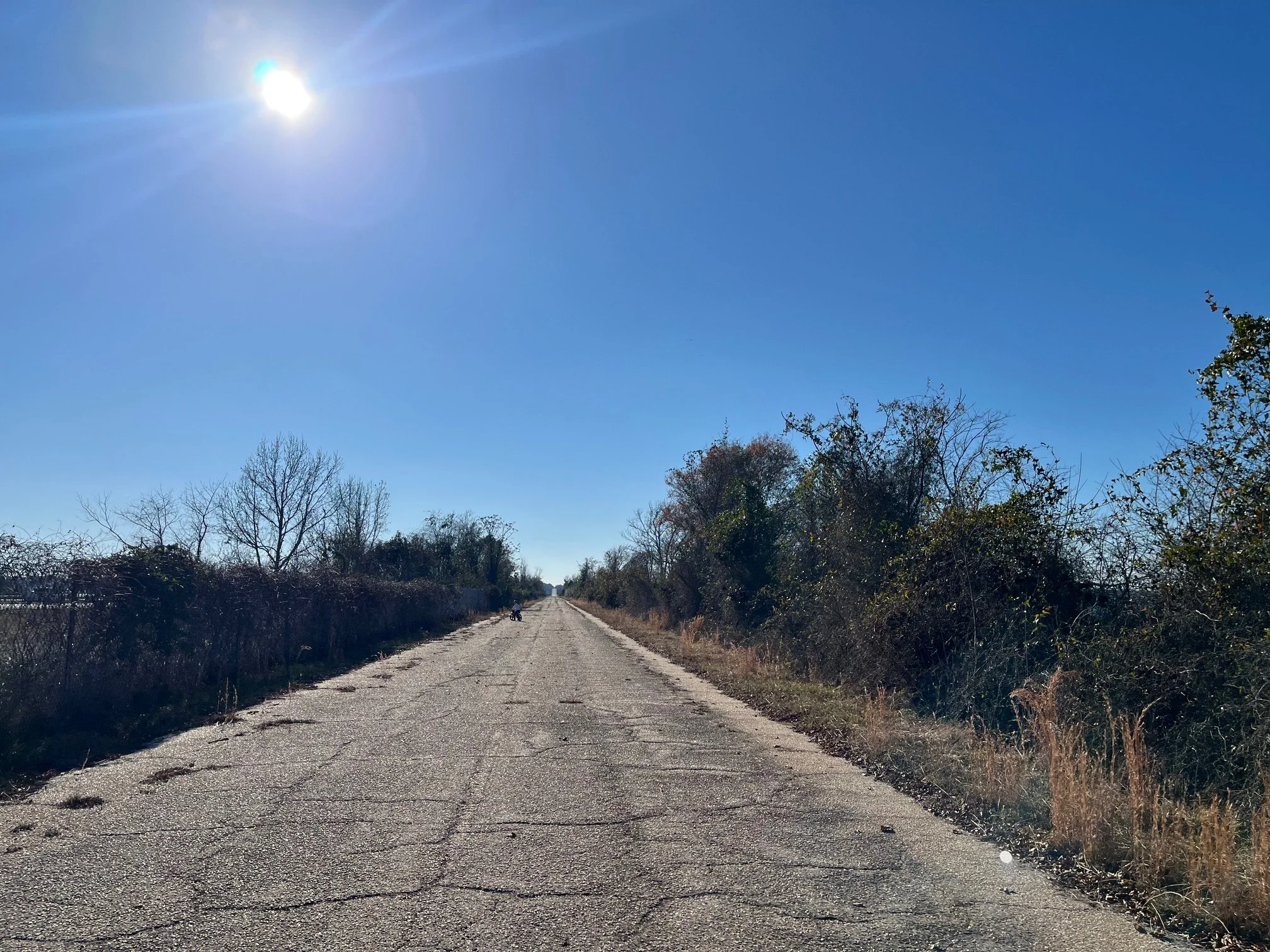
As you get closer to the northern end, the bridge rests on a small island. There are still some remaining trees and bushes that prevent a fully clear view of the water.
The pavement towards the northern end of the trail is also more textured than what’s on the southern end and middle of the bridge, but it’s not so bad that you’re at risk of twisting your ankle or anything.
The first mile marker you’ll come to when accessing the bridge on the southern end
Throughout your hike, the road is the width of a full 2 lane road, since this is where the northbound Highway 301 once ran.
Towards the middle of the trail, you’ll also have a small sidewalk on either side, which provides additional leverage if you want to get ever so slightly higher for the views.
There are guardrails or fencing all along the trail, which will help parents feel more secure about having their kids out over the water.
Part of the fencing near the northern end of the bridge
A child could, if he or she was trying hard enough, still probably squeeze through the railings at the top of the bridge or around the fence posts, but it would be difficult.
Once you reach the end of the bridge, you’ll want to retrace your steps back to the parking lot where you started.
Tips for Visiting the Lake Marion Bridge
Protect yourself from the sun.
This trail is completely exposed without any tree cover.
While that’s wonderful on a mild winter day, hiking the bridge mid-day in July is going to be rough.
You’re also hiking on concrete/asphalt the entire time, too, which will further reflect the sun’s heat on you.
The best time to do this hike would be between October and April. If you plan to do it in the late spring through the early fall, go early in the morning or late in the afternoon before the temperatures heat up.
Bring a hat, sunglasses, and sunscreen to help as well.
Bring water and trail snacks.
You won’t find any food or drinks at the trailhead, so you’ll want to pack in everything that you need.
Bringing different trail snacks is one of the main ways that we make hiking fun for our kids, and the Limberlost Trail has plenty of benches along the way to pause for a snack.
I always carry water in my day pack, usually in my 2L water bladder.
When my kids were younger, I’d carry their water for them, but they now each have little water bladder in their own packs.
Wear comfortable shoes.
While it’s a shorter hike, you still don’t want to do this trail in flip flops or wedges.
Plan to wear tennis shoes, at minimum, but hiking specific shoes are best.
In the summer months, you could wear Chacos, Tevas, or, my favorite, Keen Newport H2s, which aren’t as hot or constraining as full hiking boots.
Pick up a free Track Trail pamphlet for kids.
These are free at the trailhead, and you can then log your mileage on the Track Trail website.
The Kids in Parks group will then send your child prizes in the mail for hitting mileage and trail goals.
You’ll want to bring your own pen or pencil as the Tracks Trail stand don’t offer these.
Consider a towel and bathing suit.
On a warm day, your kids will likely want to dip their toes in the lake after their hike.
There’s beach access on the northern end near the boat ramp. You can change in the vault toilet before you need to head back to your car.
I will note that the lake definitely has wildlife in it, including alligators.
While I’ve never heard of anyone getting attacked by one here, it’s still good to keep an eye out for them.
More helpful posts about hiking in South Carolina:
Final Thoughts on Hiking the Lake Marion Bridge Trail
Sign on the northern end of the lake noting the Palmetto Trail passage
While it’s not the most challenging hike that you’ll find in South Carolina, walking the Old 301 Bridge is a great way to get outside in a beautiful location.
Plus, the fact that the bridge is easily accessible from the interstate opens it up to travelers on I-95, which is not something most hikes in South Carolina can boast.
The multi-use trail makes it excellent for families with kids of various ages: babies can be pushed in strollers, younger kids can bring scooters or bikes, and older kids can hike with their parents.
When you add in the new, clean amenities like the on-site bathroom, covered picnic area, wading beach, boat ramp, and fishing pier, you could truly turn your bridge hike into an all day experience.
Overall, this refurbishment of what was a long time eye sore is a welcome addition to the Palmetto State’s outdoor activities options.